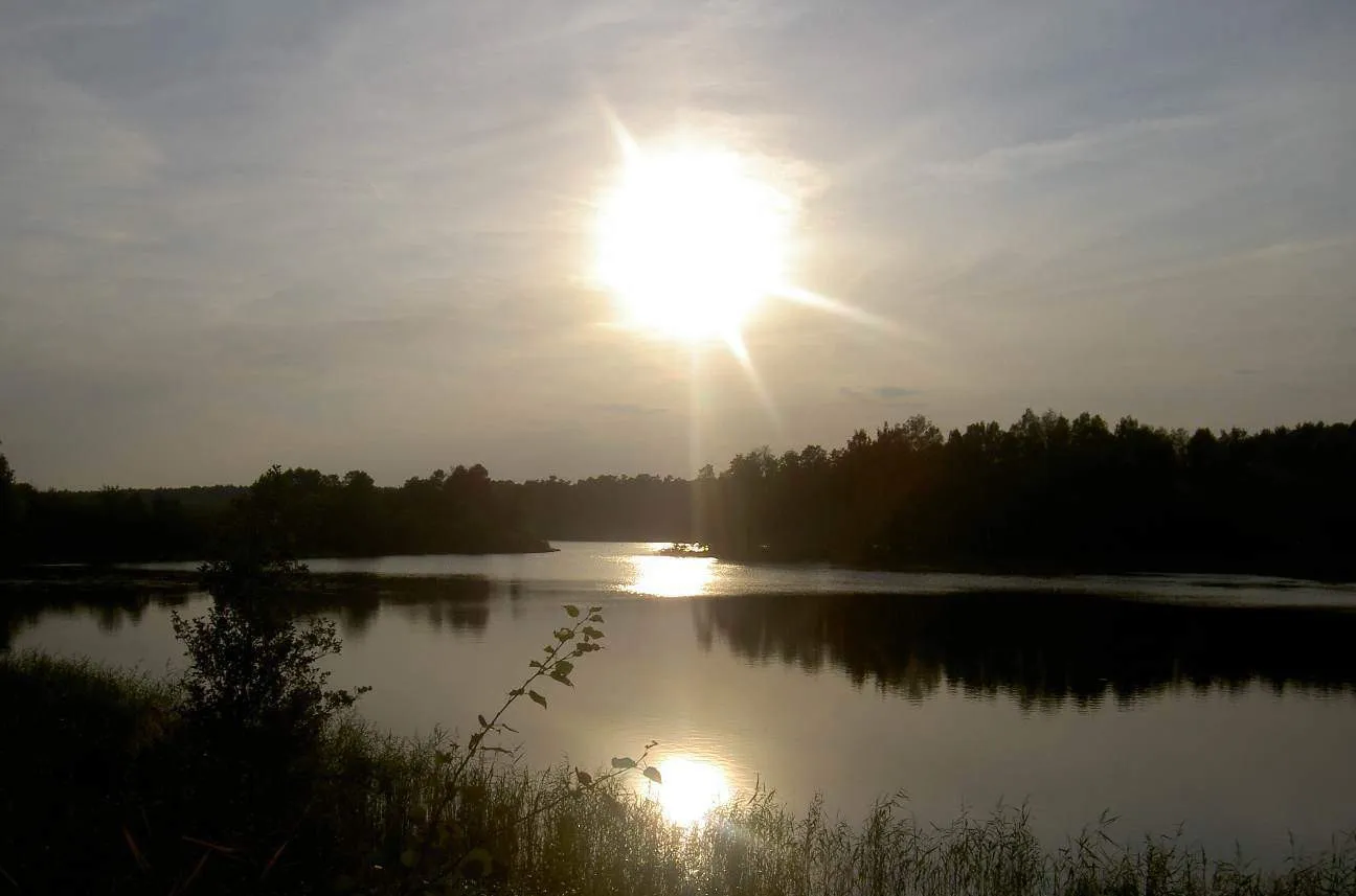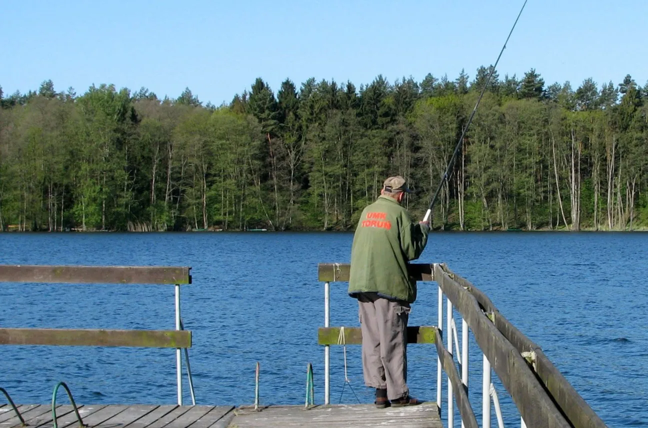
Many people arrive at Koronowo Reservoir with a simple plan: beach, water, lunch and perhaps a short boat ride. That can be enough for one day, but it does not show the whole area. Once you move away from the most obvious shoreline stops, the region opens into Cistercian heritage, forest roads, day-long loops and quieter stretches best understood in motion.
A walking loop that joins water and history
One of the most useful starting points is the Koronowo ring trail. It is a full outing in which lake scenery meets older regional heritage. The route description repeatedly returns to Łąsko Wielkie, Buszkowo, Byszewo, Wiązowno, Grabina Park and the former monastery buildings in Koronowo itself.
That mix matters. It gives the walk enough variety to hold attention through the day. One moment the route passes through open landscape, then it reaches a church, a sanctuary, a park edge or a trace of an older settlement pattern. The wider area has long existed at the meeting point of water, the Brda valley and the legacy of former monastic land use.
Cycling through the ferry, the churches and the longer shoreline
The region also works very well by bike. One of the routes described by the Pomeranian Cistercian trail follows the heritage of the former Byszewo abbey and creates a one- or two-day loop from Koronowo through Mąkowarsko, Łąsko Wielkie, Wierzchucin Królewski, Byszewo and Wtelno. It is not a route designed only for distance. There is a reason to stop again and again.
There is another layer as well, more contemporary and more terrain-based. Community route trackers describe a popular loop around the reservoir of just under 58 km. Riders return to it because it connects the ferry crossing, an old bridge, sections near the Sępolenka stream and traces of former railway infrastructure. After a while it becomes clear that the reservoir does not end at the main beach. The surrounding landscape is broader and more varied than that first impression suggests.
Samociążek is not a side note
If one place deserves to be treated as a calmer starting point, it is Samociążek. This part of the reservoir feels quieter than Pieczyska and the busiest entry points near Koronowo, yet it offers a lot of possibilities. Several marked hiking routes and cycling trails meet nearby, which makes it easy to combine a walk by the water with a longer route inland.
Samociążek itself has a different tone as well. This is the southern end of the reservoir, closer to the hydro plant and the former lakes Czarne and Białe. In practice that changes the rhythm of the day. There is less crowd pressure and more room to combine a walk, a bike ride and a slower stop by the water.
A map helps, and so does restraint
Local material about Koronowo keeps circling back to one sensible point: a reservoir map genuinely helps. The area is bigger and more broken up than it looks at first glance. Bays, narrows, side roads, ferry access, peninsulas, forest edges. Without a plan it is easy to jump from one point to another and never really feel the place.
The best rhythm is simple. Give one day to Koronowo and a walking route, or at least part of it. Use another day for the ferry loop or the Samociążek side of the reservoir. Then leave space for a shorter, slower stretch by the water. That is when the trails around Koronowo Reservoir stop feeling like an addition to the reservoir and become one of the things that define it.